Franklin Trail
A challenging ascent into the Santa Ynez Mountains offering unparalleled panoramic views of the coast and Channel Islands.
A Historic Reopening
After being closed to the public for over 40 years, the historic Franklin Trail was successfully reopened thanks to a massive community effort, reconnecting Carpinteria to the Los Padres National Forest.
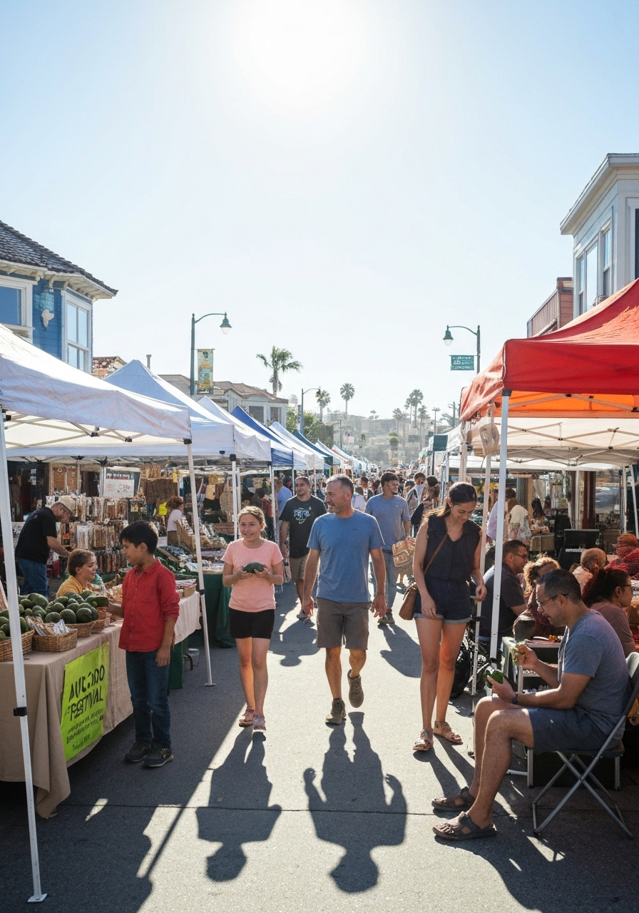
The Franklin Trail is not for the faint of heart, but the rewards for those who tackle it are immense. The trail begins with a relatively gentle walk through agricultural easements, passing by avocado orchards and offering a glimpse into Carpinteria's rich farming heritage.
As you progress past the initial phases, the real work begins. The trail steadily climbs the face of the Santa Ynez Mountains, utilizing a series of switchbacks. As you ascend, the vegetation transitions from coastal scrub to chaparral, and the views open up dramatically.
The Journey to the Crest
The full trail to the crest of the Santa Ynez Mountains is approximately 8 miles one-way, with nearly 4,000 feet of elevation gain. However, you don't need to hike the entire length to enjoy the experience. Many hikers choose to turn around at the 2-mile or 4-mile mark, both of which offer fantastic vantage points.
If you do push to the top, you'll be treated to a 360-degree panorama. To the south, the entire Carpinteria Valley spreads out below you, fringed by the blue expanse of the Pacific Ocean and the rugged silhouettes of the Channel Islands. To the north, you'll look deep into the remote and wild backcountry of the Los Padres National Forest.
Important Note: The upper sections of the Franklin Trail are highly exposed with very little shade. During the summer months, it is strongly advised to start your hike at dawn and bring significantly more water than you think you will need.
Trail Details
Distance
Up to 16 miles round trip (to the crest and back).
Difficulty
Strenuous. Significant elevation gain and sun exposure.
Facilities
No water or restrooms available on the trail.
Multi-Use
Open to hikers, mountain bikers, and equestrians. Please yield appropriately.